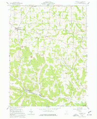
1962 Map of Glenmont
USGS Topo · Published 1977About this map
The Greenville Treaty Line cuts across the center of this terrain, marking a significant historical boundary in the early settlement of Ohio. This survey captures a rural landscape where extractive industry and agriculture coexist, evidenced by numerous Oil Wells, Gas Wells, and several Strip Mines or Quarries scattered throughout the ridges. The village of Glenmont sits in the south along the Pennsylvania railroad line, serving as a local hub near Black Creek.
Find a feature on this map
29 named features on this map. Tap any name to fly to it.
Don’t see what you’re looking for? This feature index may not catch every label — zoom into the map to look around manually.
Map Details
Editions of this 1962 Glenmont Map
2 editions found
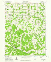
Other maps of this area

1912 · Loudonville
USGS Topo · 1:62,500

1913 · Brinkhaven
USGS Topo · 1:62,500

1913 · Coshocton
USGS Topo · 1:62,500

1914 · Loudonville
USGS Topo · 1:62,500

1915 · Brinkhaven
USGS Topo · 1:62,500

1915 · Millersburg
USGS Topo · 1:62,500

1915 · Coshocton
USGS Topo · 1:62,500

1943 · Millersburg
USGS Topo · 1:62,500

1943 · Coshocton
USGS Topo · 1:62,500

1943 · Loudonville
USGS Topo · 1:62,500