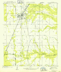
1968 Map of Glenmora
USGS Topo · Published 1983About this map
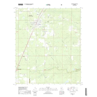
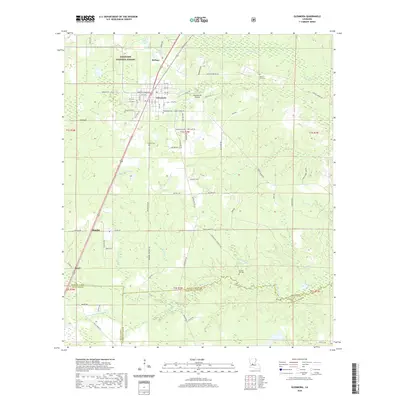
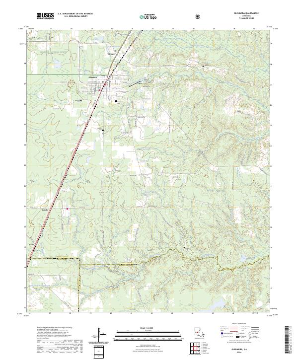
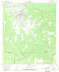
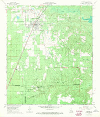
Glenmora and the nearby town of McNary serve as the primary hubs in this part of Rapides Parish, positioned along the Missouri Pacific Railroad. The landscape is defined by the heavy timber of the Kisatchie National Forest and an intricate network of waterways including Cocodrie Bayou and Cocodrie Lake. Transportation history is evident in the transition from an Old Railroad Grade to active rail lines and several small airstrips such as Miller Landing Strip and Andres Landing Field. Local family history is preserved in numerous burial grounds scattered across the terrain, from Rose Lawn Cem and Johnson Cem near the settlements to the more isolated Science Hill Cem and Rocky Hill Cem. The presence of gravel pits and oil wells indicates a landscape balanced between conservation and natural resource extraction.
Find a feature on this map
31 named features on this map. Tap any name to fly to it.
Don’t see what you’re looking for? This feature index may not catch every label — zoom into the map to look around manually.
Map Details
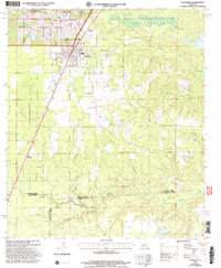
Editions of this 1968 Glenmora Map
2 editions found
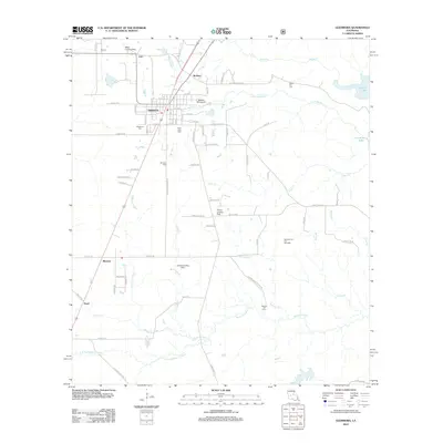
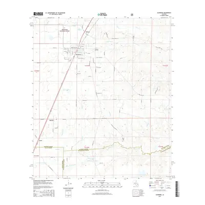
Historical Maps of Glenmora Through Time
8 maps found