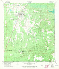
1968 Map of Glenmora
USGS Topo · Published 1970About this map
Glenmora serves as the central hub of this Central Louisiana landscape, where the Missouri Pacific railroad cuts a straight line through the piney woods of the Kisatchie National Forest. The map documents a transition in local infrastructure, showing both active rail lines and an Old Railroad Grade that suggests the area’s earlier logging or industrial history. Small settlements like McNary and Blanche anchor the rural territory, while several family and community burial sites, including the Johnson Cem and Science Hill Cem, provide specific points of interest for genealogists tracking local residents.
Find a feature on this map
31 named features on this map. Tap any name to fly to it.
Don’t see what you’re looking for? This feature index may not catch every label — zoom into the map to look around manually.
Map Details
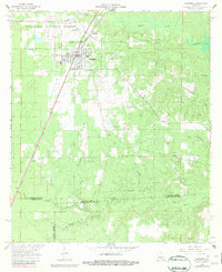
Editions of this 1968 Glenmora Map
2 editions found
Other maps of this area

1935 · Beaver
USGS Topo · 1:31,680

1935 · Pawnee
USGS Topo · 1:31,680

1935 · Oakdale
USGS Topo · 1:31,680

1935 · Turkey Creek
USGS Topo · 1:62,500

1935 · Lecompte
USGS Topo · 1:62,500

1942 · Oakdale
USGS Topo · 1:62,500

1949 · Glenmora
USGS Topo · 1:31,680

1949 · Turkey Creek
USGS Topo · 1:62,500

1952 · Lake Charles
USGS Topo · 1:250,000

1953 · Alexandria
USGS Topo · 1:250,000