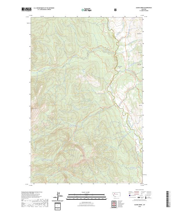
2024 Map of Glenn Creek
USGS Topo · Published 2024About this map
The Lewis & Clark National Forest spans this high-elevation wilderness where the Sawtooth Range meets the drainages of the North Fork Sun River. The landscape is defined by its rugged verticality, featuring prominent peaks like Sheep Mtn and Slategat Mtn, alongside specialized flatland clearings such as Two Shacks Flat. This 2024 survey documents a network of primitive transportation routes, including the Moose-Furman Trl and Cabin Creek Admin Connect Trl, which provide access to interior water bodies like Hazard Lake.
Find a feature on this map
41 named features on this map. Tap any name to fly to it.
Don’t see what you’re looking for? This feature index may not catch every label — zoom into the map to look around manually.
Map Details
Editions of this 2024 Glenn Creek Map
This is the sole edition of this map. No revisions or reprints were ever made.
Other maps of this area

1903 · Saypo
USGS Topo · 1:125,000

1936 · Silvertip
USGS Topo · 1:96,000

1942 · Silvertip
USGS Topo · 1:125,000

1955 · Choteau
USGS Topo · 1:250,000

1957 · Choteau
USGS Topo · 1:250,000

1958 · Choteau
USGS Topo · 1:250,000

1958 · Our Lake
USGS Topo · 1:24,000

1958 · Glenn Creek
USGS Topo · 1:24,000

1958 · Pretty Prairie
USGS Topo · 1:24,000

1958 · Gates Park
USGS Topo · 1:24,000