
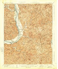
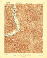
1908 Map of Glenwood
USGS Topo · Published 1908About this map
The Ohio River flows through the heart of this 1908 topographical survey, defining the border between Ohio and West Virginia. Small riverfront communities and post offices such as Ben Lomond, Apple Grove, and Chambersburg Eureka PO follow the eastern bank, supported by the Baltimore and Ohio RR. The landscape transitions from the flat fertile plains of Mercers Bottom to the deeply dissected hills of Hannan and Clendenin townships. In the southeastern corner, the ancient Teays Valley remains a prominent geological feature, while further south the Kanawha and Michigan RR skirts the edge of the Kanawha River. This map captures the region at a time when river traffic and early rail lines were the primary arteries for local commerce and communication between rural settlements like Yellowtown Thivener PO and Bushs Mill.
Find a feature on this map
80 named features on this map. Tap any name to fly to it.
Don’t see what you’re looking for? This feature index may not catch every label — zoom into the map to look around manually.
Map Details
Editions of this 1908 Glenwood Map
3 editions found
Other maps of this area

1892 · Huntington
USGS Topo · 1:125,000

1898 · Huntington
USGS Topo · 1:125,000

1899 · Charleston
USGS Topo · 1:125,000

1901 · Guyandot
USGS Topo · 1:62,500

1902 · Guyandot
USGS Topo · 1:62,500

1902 · Milton
USGS Topo · 1:62,500

1906 · Bidwell
USGS Topo · 1:62,500

1906 · Athalia
USGS Topo · 1:62,500

1906 · Glenwood
USGS Topo · 1:62,500

1906 · Winfield
USGS Topo · 1:62,500