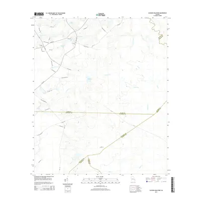
2014 Map of Glissons Millpond
USGS Topo · Published 2014About this map
Glissons Millpond lies at the heart of this landscape, surrounded by a complex network of waterways including Canoochee Cr and the Canoochee River. The terrain is defined by its low-lying drainages, where many family names are preserved through local landmarks and road networks. Genealogists and local historians can find several significant burial sites, such as Barnard Cem near the historic Barnard Mill, as well as Antioch Cem and Sand Hill Cem.
Find a feature on this map
49 named features on this map. Tap any name to fly to it.
Don’t see what you’re looking for? This feature index may not catch every label — zoom into the map to look around manually.
Map Details
Editions of this 2014 Glissons Millpond Map
This is the sole edition of this map. No revisions or reprints were ever made.
Other maps of this area

1918 · Hinesville
USGS Topo · 1:62,500

1919 · Claxton
USGS Topo · 1:62,500

1920 · Pembroke
USGS Topo · 1:62,500

1920 · Glennville
USGS Topo · 1:62,500

1944 · Claxton
USGS Topo · 1:62,500

1944 · Glennville
USGS Topo · 1:62,500

1944 · Hinesville
USGS Topo · 1:62,500

1946 · Brunswick
USGS Topo · 1:250,000

1947 · Savannah
USGS Topo · 1:250,000

1948 · Brunswick
USGS Topo · 1:250,000