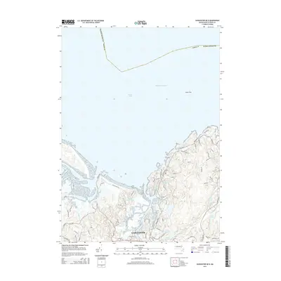
2015 Map of Gloucester OE N
USGS Topo · Published 2015About this map
Gloucester serves as the focal point for this coastal survey of Cape Ann's northern reaches. The landscape is defined by its complex shoreline and internal water systems, where Walker Creek and Alewife Brook drain toward the Atlantic Ocean. Inland, the terrain is marked by numerous small bodies of water and significant topographic features like Pigeon Hill, reflecting the glacially sculpted character of Essex County. The map details a dense network of local roads such as Wingaersheek Rd and Causeway St, which navigate the marshes and rocky outcrops. This 2015 edition documents the modern infrastructure surrounding longstanding natural landmarks, including the Babson Reservoir and several named ponds like Sleepy Hollow Pond and Strangman Pond that have historically sustained this maritime community.
Find a feature on this map
76 named features on this map. Tap any name to fly to it.
Don’t see what you’re looking for? This feature index may not catch every label — zoom into the map to look around manually.
Map Details
Editions of this 2015 Gloucester OE N Map
This is the sole edition of this map. No revisions or reprints were ever made.
Other maps of this area

1886 · Gloucester
USGS Topo · 1:62,500

1888 · Newburyport
USGS Topo · 1:62,500

1888 · Gloucester
USGS Topo · 1:62,500

1888 · Salem
USGS Topo · 1:62,500

1890 · Newburyport
USGS Topo · 1:62,500

1893 · Salem
USGS Topo · 1:62,500

1893 · Gloucester
USGS Topo · 1:62,500

1894 · Newburyport
USGS Topo · 1:62,500

1917 · Salem
USGS Topo · 1:62,500

1918 · Gloucester
USGS Topo · 1:62,500