
1958 Map of Gold Mine
USGS Topo · Published 1960About this map
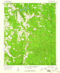
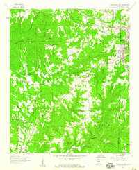
Gold Mine and Brilliant serve as focal points for this mid-century survey of the Alabama coalfields, where the landscape is heavily defined by extensive strip mining and extraction operations. Numerous family and community landmarks are scattered across the terrain, including Gum Springs Ch and Poplar Springs Ch, alongside several burial grounds such as Haley Cem and Crooked Creek Cem.
Find a feature on this map
43 named features on this map. Tap any name to fly to it.
Don’t see what you’re looking for? This feature index may not catch every label — zoom into the map to look around manually.
Map Details
Editions of this 1958 Gold Mine Map
4 editions found
Other maps of this area

1936 · Delmar
USGS Topo · 1:24,000

1936 · South Of Hackleburg
USGS Topo · 1:24,000

1936 · Goddard
USGS Topo · 1:24,000

1953 · Birmingham
USGS Topo · 1:250,000

1956 · Birmingham
USGS Topo · 1:250,000

1956 · Gadsden
USGS Topo · 1:250,000

1957 · Birmingham
USGS Topo · 1:250,000

1958 · Gadsden
USGS Topo · 1:250,000
1958 · Haleyville East
USGS Topo · 1:24,000
1958 · Haleyville West
USGS Topo · 1:24,000