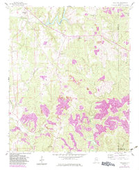
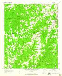
1958 Map of Gold Mine
USGS Topo · Published 1983About this map
Sunny Home and Whitehouse anchor the northern landscape of this North Alabama survey, where the winding Buttahatchee River meets tributaries like Crooked Branch and Bostick Creek. The terrain is defined by a blend of agricultural clearings and industrial extraction, evident in the numerous Strip Mine and Gravel Pit sites scattered near Brilliant. Local history is preserved through a high density of rural institutions, from Poplar Springs Ch and Bethel Ch to family-named burial grounds like Halcomb Cem and Miles Cem. The arrival of the Southern railroad in the northeast corner at Glen Mary contrasts with the more isolated settlements of Gold Mine and Brookside further south. This edition includes purple revisions from the early 1980s, revealing modern changes to the forest cover and development within the William B Bankhead National Forest.
Find a feature on this map
39 named features on this map. Tap any name to fly to it.
Don’t see what you’re looking for? This feature index may not catch every label — zoom into the map to look around manually.
Map Details
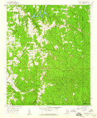
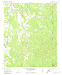
Editions of this 1958 Gold Mine Map
4 editions found

Other maps of this area

1936 · Delmar
USGS Topo · 1:24,000

1936 · South Of Hackleburg
USGS Topo · 1:24,000

1936 · Goddard
USGS Topo · 1:24,000

1953 · Birmingham
USGS Topo · 1:250,000

1956 · Birmingham
USGS Topo · 1:250,000

1956 · Gadsden
USGS Topo · 1:250,000

1957 · Birmingham
USGS Topo · 1:250,000

1958 · Gadsden
USGS Topo · 1:250,000
1958 · Haleyville East
USGS Topo · 1:24,000
1958 · Haleyville West
USGS Topo · 1:24,000