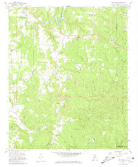
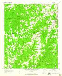
1958 Map of Gold Mine
USGS Topo · Published 1981About this map
Strip mines and gravel pits dot this landscape, marking an era of intensive extraction along the winding waters of the West Branch Buttahatchee River and Little New River. The map captures a moment of infrastructure growth, with several roads marked as under construction cutting through the terrain towards the William B. Bankhead National Forest boundary. Small rural communities like Gold Mine and Sunny Home are anchored by local landmarks including Rosebud Ch and Bethel Ch. Genealogists will find several family-named burial sites such as Haley Cem and Halcomb Cem, which provide clues to the early settlement patterns of this coal and timber region where the borders of Marion, Winston, and Walker counties converge.
Find a feature on this map
36 named features on this map. Tap any name to fly to it.
Don’t see what you’re looking for? This feature index may not catch every label — zoom into the map to look around manually.
Map Details
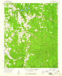
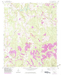
Editions of this 1958 Gold Mine Map
4 editions found

Other maps of this area

1936 · Delmar
USGS Topo · 1:24,000

1936 · South Of Hackleburg
USGS Topo · 1:24,000

1936 · Goddard
USGS Topo · 1:24,000

1953 · Birmingham
USGS Topo · 1:250,000

1956 · Birmingham
USGS Topo · 1:250,000

1956 · Gadsden
USGS Topo · 1:250,000

1957 · Birmingham
USGS Topo · 1:250,000

1958 · Gadsden
USGS Topo · 1:250,000
1958 · Haleyville East
USGS Topo · 1:24,000
1958 · Haleyville West
USGS Topo · 1:24,000