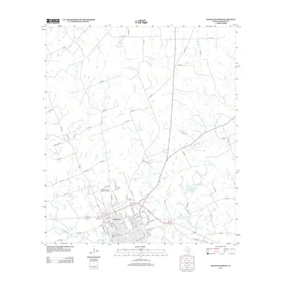
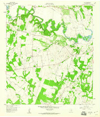
2013 Map of Gonzales North
USGS Topo · Published 2013About this map
The Gonzales Commercial Historic District anchors this region of Central Texas at the confluence of two major waterways. The San Marcos River flows into the Guadalupe River at the southwest corner of the map, a geographic position that historically defined the settlement of Gonzales. To the north, the landscape is shaped by a dense network of tributaries including Kerr Cr, Tinsley Cr, and Denton Cr, which cut through the farm and ranch lands. Local family legacies are visible in the naming of water bodies such as Halamicek Lake Number 1 and Winkenwerder Lake. Transportation and regional access are provided by the Roger M. Dreyer Memorial Airport, while smaller local landmarks like Camp Brazil Cem and Denton Creek Cem offer points of interest for genealogists tracing early residents in this historic county seat.
Find a feature on this map
82 named features on this map. Tap any name to fly to it.
Don’t see what you’re looking for? This feature index may not catch every label — zoom into the map to look around manually.
Map Details
Editions of this 2013 Gonzales North Map
This is the sole edition of this map. No revisions or reprints were ever made.
Other maps of this area
1901 · Flatonia
USGS Topo · 1:125,000
1911 · San Marcos
USGS Topo · 1:125,000
1919 · San Marcos
USGS Topo · 1:125,000
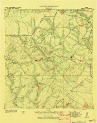
1920 · Smiley
USGS Topo · 1:125,000
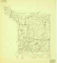
1925 · San Marcos 4-a
USGS Topo · 1:48,000
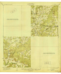
1929 · Luling
USGS Topo · 1:62,500

1953 · Seguin
USGS Topo · 1:250,000

1958 · Seguin
USGS Topo · 1:250,000
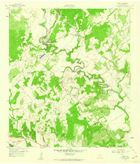
1959 · Ottine
USGS Topo · 1:24,000
1959 · Cost
USGS Topo · 1:24,000