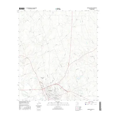
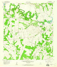
2016 Map of Gonzales North
USGS Topo · Published 2016About this map
The confluence of the San Marcos River and the Guadalupe River anchors the southern portion of this landscape, just south of the historic center of Gonzales. This survey captures the town's modern footprint, extending north with residential streets like St George St and Saint Matthew St organized in a traditional grid. The surrounding countryside is defined by a dense network of creek systems including Smith Cr, Tinsley Cr, and Kerr Cr, which feed several local impoundments such as Winkenwerder Lake and the Halamicek Lakes. Aviation and local history are marked by the Roger M. Dreyer Memorial Airport and small burial grounds like Camp Brazil Cem and Denton Creek Cem, which sit alongside a web of rural farm-to-market roads and county routes connecting the outlying ranchland to the river valley.
Find a feature on this map
86 named features on this map. Tap any name to fly to it.
Don’t see what you’re looking for? This feature index may not catch every label — zoom into the map to look around manually.
Map Details
Editions of this 2016 Gonzales North Map
This is the sole edition of this map. No revisions or reprints were ever made.
Other maps of this area
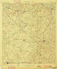
1901 · Flatonia
USGS Topo · 1:125,000
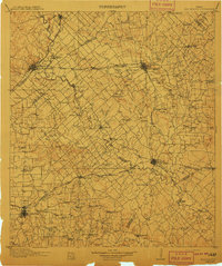
1911 · San Marcos
USGS Topo · 1:125,000
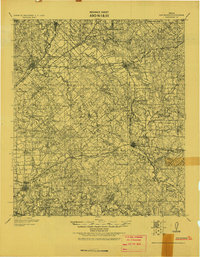
1919 · San Marcos
USGS Topo · 1:125,000
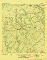
1920 · Smiley
USGS Topo · 1:125,000
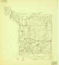
1925 · San Marcos 4-a
USGS Topo · 1:48,000
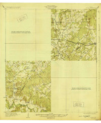
1929 · Luling
USGS Topo · 1:62,500

1953 · Seguin
USGS Topo · 1:250,000

1958 · Seguin
USGS Topo · 1:250,000
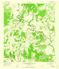
1959 · Ottine
USGS Topo · 1:24,000
1959 · Cost
USGS Topo · 1:24,000