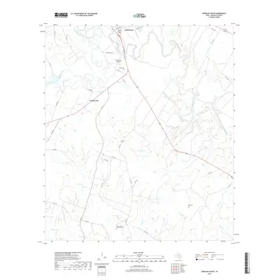
2019 Map of Gonzales South
USGS Topo · Published 2019About this map
The Guadalupe River and San Marcos River converge just north of the area shown here, creating a landscape of winding waterways and fertile bottomlands south of Gonzales. This modern survey reveals a countryside shaped by agriculture and multi-generational landholdings, where the topographic relief is punctuated by landmarks like Santa Anna Mound. The southern outskirts of the county seat give way to smaller clusters like Summerville, with the rural character of the district maintained by a network of county roads.
Find a feature on this map
50 named features on this map. Tap any name to fly to it.
Don’t see what you’re looking for? This feature index may not catch every label — zoom into the map to look around manually.
Map Details
Editions of this 2019 Gonzales South Map
This is the sole edition of this map. No revisions or reprints were ever made.
Other maps of this area

1901 · Flatonia
USGS Topo · 1:125,000

1911 · San Marcos
USGS Topo · 1:125,000

1919 · San Marcos
USGS Topo · 1:125,000

1920 · Smiley
USGS Topo · 1:125,000

1929 · Luling
USGS Topo · 1:62,500

1953 · Seguin
USGS Topo · 1:250,000

1958 · Seguin
USGS Topo · 1:250,000

1959 · Ottine
USGS Topo · 1:24,000

1959 · Cost
USGS Topo · 1:24,000

1959 · Hochheim
USGS Topo · 1:24,000