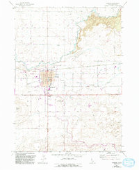
1971 Map of Gooding
USGS Topo · Published 1993About this map
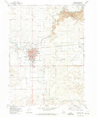
The Union Pacific rail line and the confluence of the Big Wood River and Little Wood River define the development of Gooding, Idaho. This 1971 survey, updated with 1980s data, shows a community shaped by complex irrigation and institutional life. The town grid is dense with civic landmarks, including the Courthouse, City Hall, and the State School for the Deaf and the Blind. The surrounding landscape reveals the essential role of water management in the Snake River Plain, documented through the South Gooding Siphon, multiple flumes, and an extensive network of canals and aqueducts. To the east and north, the terrain transitions into lava beds, while Gooding Butte stands as a prominent landmark to the southwest. Genealogists will find the Pioneer Cem and Elmwood Cem clearly marked on the town's eastern edge.
Find a feature on this map
54 named features on this map. Tap any name to fly to it.
Don’t see what you’re looking for? This feature index may not catch every label — zoom into the map to look around manually.
Map Details
Editions of this 1971 Gooding Map
2 editions found
Other maps of this area

1949 · Gooding Butte
USGS Topo · 1:24,000

1949 · Tuttle
USGS Topo · 1:24,000

1950 · Gooding Butte
USGS Topo · 1:24,000

1951 · Tuttle
USGS Topo · 1:24,000

1955 · Twin Falls
USGS Topo · 1:250,000

1955 · Hailey
USGS Topo · 1:250,000

1957 · Thorn Creek SE
USGS Topo · 1:24,000

1957 · Thorn Creek SW
USGS Topo · 1:24,000

1957 · Thorn Creek
USGS Topo · 1:62,500

1957 · Davis Mountain
USGS Topo · 1:62,500