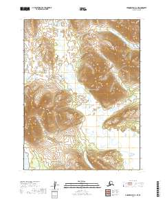
2019 Map of Goodnews Bay A-1 NE
USGS Topo · Published 2019About this map
The Wood River Mountains dominate the western landscape of this southwestern Alaska region, where the terrain rises sharply from the river valleys. The Weary River carves a winding path across the tundra, displaying the complex drainage patterns characteristic of the Dillingham Census Area. In the southwestern corner, the waters of Amanka Lake and Middle Cr suggest a landscape defined by seasonal hydrography and remote glacial remnants. This 2019 survey documents the intricate contour lines of the uplands, including Longaem Cr on the western edge, providing a precise record of the physical geography before contemporary environmental shifts further alter the subarctic permafrost and drainage basins.
Find a feature on this map
9 named features on this map. Tap any name to fly to it.
Don’t see what you’re looking for? This feature index may not catch every label — zoom into the map to look around manually.
Map Details
Editions of this 2019 Goodnews Bay A-1 NE Map
This is the sole edition of this map. No revisions or reprints were ever made.
Other maps of this area

1951 · Dillingham
USGS Topo · 1:250,000

1951 · Goodnews
USGS Topo · 1:250,000

1952 · Dillingham A-8
USGS Topo · 1:63,360

1954 · Dillingham
USGS Topo · 1:250,000

1954 · Dillingham B-8
USGS Topo · 1:63,360
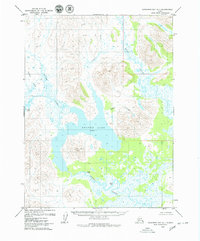
1979 · Goodnews Bay A-1
USGS Topo · 1:63,360

1979 · Goodnews Bay B-1
USGS Topo · 1:63,360

1979 · Goodnews Bay
USGS Topo · 1:250,000
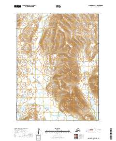
2019 · Goodnews Bay A-1 NW
USGS Topo · 1:25,000
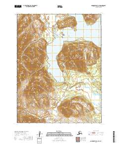
2019 · Goodnews Bay A-1 SW
USGS Topo · 1:25,000