
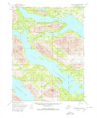
1954 Map of Dillingham B-8
USGS Topo · Published 1968About this map
Lake Aleknagik and Lake Nerka dominate this sub-arctic landscape of the Bristol Bay region during the mid-1950s. The map captures a largely untouched wilderness defined by massive glacial lakes and the connective Agulowak River, which serves as the primary drainage between these major bodies of water. Human activity is indicated only by isolated Cabin and Cabins sites, likely serving as seasonal camps or trapper residences.
Find a feature on this map
19 named features on this map. Tap any name to fly to it.
Don’t see what you’re looking for? This feature index may not catch every label — zoom into the map to look around manually.
Map Details
Editions of this 1954 Dillingham B-8 Map
2 editions found
Other maps of this area

1951 · Dillingham
USGS Topo · 1:250,000

1951 · Goodnews
USGS Topo · 1:250,000

1952 · Dillingham A-8
USGS Topo · 1:63,360

1952 · Dillingham A-7
USGS Topo · 1:63,360

1954 · Dillingham
USGS Topo · 1:250,000

1954 · Dillingham B-7
USGS Topo · 1:63,360

1954 · Dillingham C-7
USGS Topo · 1:63,360

1954 · Dillingham C-8
USGS Topo · 1:63,360
1979 · Goodnews Bay A-1
USGS Topo · 1:63,360

1979 · Goodnews Bay B-1
USGS Topo · 1:63,360