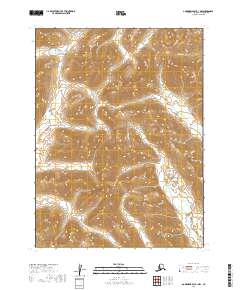
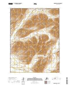
2019 Map of Goodnews Bay B-1 NW
USGS Topo · Published 2019About this map
The Wood River Mountains dominate this high-latitude terrain, where steep-sided ridges and deep drainage basins define the northern wilderness of the Dillingham Census Area. The map highlights a complex hydrological network where seasonal flows and permanent streams like Sunshine Creek and Gorge Cr carve through the elevation. The southern portion of the sheet is characterized by the meandering path of the Weary River, which collects runoff from several smaller tributaries including Killian Cr. Unlike many lower-latitude surveys, this area is entirely devoid of named settlements, roads, or man-made structures, reflecting its status as a remote landscape primarily managed by the U.S. Geological Survey for topographic and environmental documentation rather than urban development. The presence of Public Land Survey System township markers, such as t8s r59w and t9s r59w, provides the primary framework for navigating this roadless interior.
Find a feature on this map
12 named features on this map. Tap any name to fly to it.
Don’t see what you’re looking for? This feature index may not catch every label — zoom into the map to look around manually.
Map Details
Editions of this 2019 Goodnews Bay B-1 NW Map
This is the sole edition of this map. No revisions or reprints were ever made.
Other maps of this area

1951 · Goodnews
USGS Topo · 1:250,000

1954 · Goodnews C-2
USGS Topo · 1:63,360

1979 · Goodnews Bay B-2
USGS Topo · 1:63,360

1979 · Goodnews Bay B-1
USGS Topo · 1:63,360

1979 · Goodnews Bay
USGS Topo · 1:250,000

1979 · Goodnews Bay C-1
USGS Topo · 1:63,360
2019 · Goodnews Bay C-2 SE
USGS Topo · 1:25,000
2019 · Goodnews Bay C-1 SW
USGS Topo · 1:25,000
2019 · Goodnews Bay B-2 SE
USGS Topo · 1:25,000
2019 · Goodnews Bay B-2 NE
USGS Topo · 1:25,000