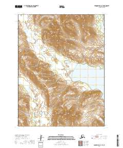
2019 Map of Goodnews Bay B-1 SE
USGS Topo · Published 2019About this map
Lake Nunavaugaluk dominates the eastern landscape of this Dillingham region, its shores framed by the dramatic elevation changes that characterize this part of Alaska. The hydrology is defined by the Weary River winding through the southwestern reaches, while Killian Cr and Ice Cr drain the high country to the north and west. This survey illustrates the undeveloped interior landscape prior to modern expansion, where the primary organizational structure is defined by the Public Land Survey System sections, such as t10s r58w and t11s r59w. The map preserves the natural drainage patterns and topographical contours of a territory where water bodies and high ridgelines dictated movement and early land use.
Find a feature on this map
10 named features on this map. Tap any name to fly to it.
Don’t see what you’re looking for? This feature index may not catch every label — zoom into the map to look around manually.
Map Details
Editions of this 2019 Goodnews Bay B-1 SE Map
This is the sole edition of this map. No revisions or reprints were ever made.
Other maps of this area

1951 · Dillingham
USGS Topo · 1:250,000

1951 · Goodnews
USGS Topo · 1:250,000

1952 · Dillingham A-8
USGS Topo · 1:63,360

1954 · Dillingham
USGS Topo · 1:250,000

1954 · Dillingham B-8
USGS Topo · 1:63,360
1979 · Goodnews Bay A-1
USGS Topo · 1:63,360

1979 · Goodnews Bay B-1
USGS Topo · 1:63,360

1979 · Goodnews Bay
USGS Topo · 1:250,000
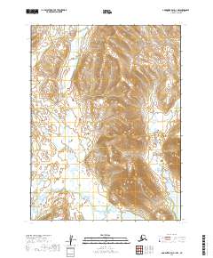
2019 · Goodnews Bay A-1 NW
USGS Topo · 1:25,000
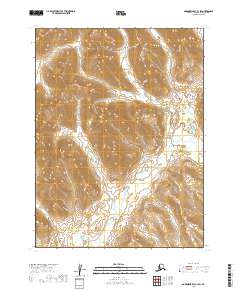
2019 · Goodnews Bay B-1 SW
USGS Topo · 1:25,000