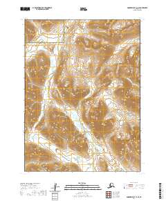
2020 Map of Goodnews Bay C-4 SE
USGS Topo · Published 2020About this map
The Nayorurun River and Kashaiak River systems define this remote expanse of Southwest Alaska, located within the Dillingham Census Area and the Bethel Census Area. The landscape is dominated by high-elevation terrain, with the river valleys providing the primary drainage routes through the steep topographic contours. This 2020 survey demonstrates the significant jurisdictional boundary line where the Bethel and Dillingham census areas meet in the northern portion of the quadrangle. The hydrographic patterns show the headwaters and tributaries of these two major rivers as they carve through the mountainous terrain, offering a precise look at the natural waterways of the Ahklun Mountains region before they reach the more populated coastal areas of Goodnews Bay.
Find a feature on this map
3 named features on this map. Tap any name to fly to it.
Don’t see what you’re looking for? This feature index may not catch every label — zoom into the map to look around manually.
Map Details
Editions of this 2020 Goodnews Bay C-4 SE Map
This is the sole edition of this map. No revisions or reprints were ever made.
Other maps of this area

1951 · Goodnews
USGS Topo · 1:250,000

1954 · Goodnews B-3
USGS Topo · 1:63,360

1954 · Goodnews C-4
USGS Topo · 1:63,360

1979 · Goodnews Bay C-3
USGS Topo · 1:63,360

1979 · Goodnews Bay
USGS Topo · 1:250,000
1979 · Goodnews Bay B-4
USGS Topo · 1:63,360
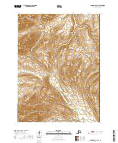
2019 · Goodnews Bay C-3 NW
USGS Topo · 1:25,000
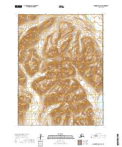
2019 · Goodnews Bay C-3 SW
USGS Topo · 1:25,000
2019 · Goodnews Bay B-3 NW
USGS Topo · 1:25,000
2020 · Goodnews Bay C-4 NW
USGS Topo · 1:25,000