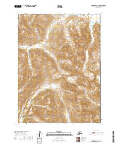
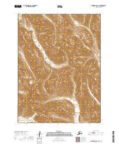
2019 Map of Goodnews Bay D-1 SW
USGS Topo · Published 2019About this map
Mt Waskey stands as a prominent high point in the southeastern corner of this map, part of the broader Wood River Mountains system that dominates the local landscape. The terrain is defined by extreme relief and glacial features, characteristic of the remote interior within the Dillingham Census Area. In the northern reaches, the Nuyakuk River enters the frame, marking a critical waterway in a region where travel is historically dictated by river systems and mountain passes. This 2019 survey by the U.S. Geological Survey illustrates the transition from high alpine peaks to the drainage basins that feed into the larger Bristol Bay watershed. The map provides precise documentation of land divisions, including townships such as t4s r58w and t5s r59w, which are essential for understanding modern land management and native claims in this part of Alaska.
Find a feature on this map
9 named features on this map. Tap any name to fly to it.
Don’t see what you’re looking for? This feature index may not catch every label — zoom into the map to look around manually.
Map Details
Editions of this 2019 Goodnews Bay D-1 SW Map
This is the sole edition of this map. No revisions or reprints were ever made.
Other maps of this area

1951 · Goodnews
USGS Topo · 1:250,000

1954 · Goodnews C-2
USGS Topo · 1:63,360

1979 · Goodnews Bay D-1
USGS Topo · 1:63,360

1979 · Goodnews Bay
USGS Topo · 1:250,000

1979 · Goodnews Bay C-1
USGS Topo · 1:63,360

1979 · Goodnews Bay D-2
USGS Topo · 1:63,360
2019 · Goodnews Bay D-1 NE
USGS Topo · 1:25,000
2019 · Goodnews Bay C-2 NE
USGS Topo · 1:25,000
2019 · Goodnews Bay D-1 NW
USGS Topo · 1:25,000
2019 · Goodnews Bay C-1 NW
USGS Topo · 1:25,000