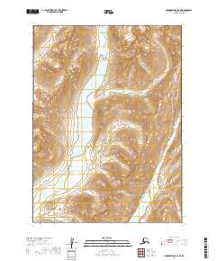
2019 Map of Goodnews Bay D-2 NE
USGS Topo · Published 2019About this map
High Lake occupies a significant north-south basin in this remote landscape of the Dillingham Census Area, serving as a central geographical landmark. The drainage patterns of the region are defined by Izavieknik River, which flows through the eastern portion of the quadrangle, and Trail Cr in the northwest. This 2019 survey documents a wilderness area shaped by glacial action and sharp topographic relief, where the land rises steeply from the lake shores into high ridgelines. The map provides precise data on the township and range divisions, including t2s r60w and t3s r59w, which are essential for identifying specific land tracts in this roadless portion of Alaska.
Find a feature on this map
7 named features on this map. Tap any name to fly to it.
Don’t see what you’re looking for? This feature index may not catch every label — zoom into the map to look around manually.
Map Details
Editions of this 2019 Goodnews Bay D-2 NE Map
This is the sole edition of this map. No revisions or reprints were ever made.
Other maps of this area

1950 · Bethel
USGS Topo · 1:250,000

1951 · Goodnews
USGS Topo · 1:250,000

1979 · Bethel A-1
USGS Topo · 1:63,360

1979 · Bethel A-2
USGS Topo · 1:63,360

1979 · Goodnews Bay D-1
USGS Topo · 1:63,360

1979 · Goodnews Bay
USGS Topo · 1:250,000

1979 · Goodnews Bay D-2
USGS Topo · 1:63,360

1980 · Bethel
USGS Topo · 1:250,000
2019 · Bethel A-1 SW
USGS Topo · 1:25,000
2019 · Goodnews Bay D-2 NW
USGS Topo · 1:25,000