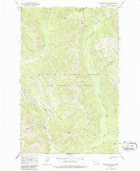
1968 Map of Gooseberry Park
USGS Topo · Published 1986About this map
The Middle Fork Flathead River carves a path through this high-elevation wilderness in the late 1960s, marking a landscape defined by the intersection of the Lewis and Clark National Forest and the Flathead National Forest. This area within the Bob Marshall Wilderness is characterized by remote meadows known as parks, including Gooseberry Park, Wapiti Park, and Grimsley Park. The topography is anchored by the Continental Div and notable summits such as Bear Peak, Ringer Mountain, and Slideout Peak.
Find a feature on this map
26 named features on this map. Tap any name to fly to it.
Don’t see what you’re looking for? This feature index may not catch every label — zoom into the map to look around manually.
Map Details
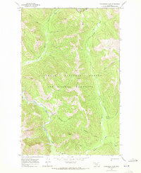
Editions of this 1968 Gooseberry Park Map
2 editions found
Other maps of this area

1903 · Saypo
USGS Topo · 1:125,000

1913 · Marias Pass
USGS Topo · 1:125,000

1914 · Heart Butte
USGS Topo · 1:125,000

1918 · Heart Butte
USGS Topo · 1:125,000

1936 · Silvertip
USGS Topo · 1:96,000

1942 · Silvertip
USGS Topo · 1:125,000

1955 · Choteau
USGS Topo · 1:250,000

1957 · Choteau
USGS Topo · 1:250,000

1958 · Choteau
USGS Topo · 1:250,000

1958 · Gable Peaks
USGS Topo · 1:24,000