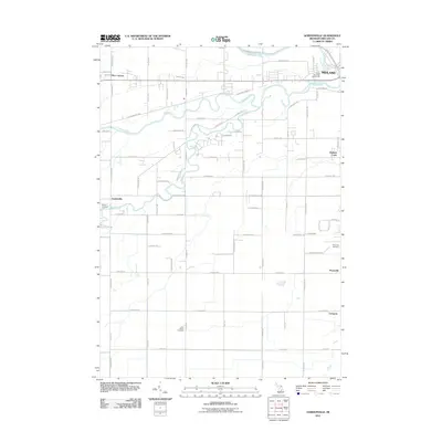
2011 Map of Gordonville
USGS Topo · Published 2011About this map
The Tittabawassee River and Chippewa River converge in the northeast corner of this Michigan landscape, framing the southwestern outskirts of Midland. The river systems dominate the northern geography, with the Pine River and Prairie Creek cutting through a grid of rural roads and agricultural plots. This 2011 survey documents the transition from the municipal edge near Currie Municipal Golf Course to the scattered crossroads settlements and rural neighborhoods that define the county's character. Genealogists and local historians will find several key landmarks preserved, including Wayne Cemetery near Gordonville, the Poseyville Cemetery in Poseyville, and Saint Patrick Cemetery further south. The map also traces the path of the Pere Marquette Rail RR, reflecting the region's historical transportation corridors alongside established communities like Dice Corners, Bullock Creek, and Lockport.
Find a feature on this map
70 named features on this map. Tap any name to fly to it.
Don’t see what you’re looking for? This feature index may not catch every label — zoom into the map to look around manually.
Map Details
Editions of this 2011 Gordonville Map
This is the sole edition of this map. No revisions or reprints were ever made.
Other maps of this area

1917 · St. Charles
USGS Topo · 1:62,500

1934 · Sanford
USGS Topo · 1:62,500

1934 · Merrill
USGS Topo · 1:62,500

1936 · Sanford
USGS Topo · 1:62,500

1937 · Merrill
USGS Topo · 1:62,500

1943 · St. Charles
USGS Topo · 1:62,500

1954 · Midland
USGS Topo · 1:250,000

1958 · Midland
USGS Topo · 1:250,000

1959 · Midland
USGS Topo · 1:250,000

1962 · Midland South
USGS Topo · 1:24,000