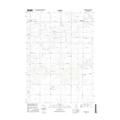
2017 Map of Gordonville
USGS Topo · Published 2017About this map
The confluence of the Tittabawassee River, Chippewa River, and Pine River anchors this landscape in Midland County, Michigan. The terrain is defined by an intricate network of managed waterways, including the Dice Drain, Kneeland Drain, and Franklin Drain, which reflect a long history of regional water management for agriculture and settlement. Small communities such as Gordonville and Poseyville sit along a grid of section-line roads, with Dice Corners marking an intersection in the northwestern corner. Genealogists and local historians can locate several historic burial sites throughout the township, such as Saint Patrick Cem, Homer Cem, and Wayne Cem. The map illustrates a rural environment increasingly shaped by its proximity to the city of Midland, where residential street names like E Riverchase and E Whitetail Dr appear alongside older farmland.
Find a feature on this map
62 named features on this map. Tap any name to fly to it.
Don’t see what you’re looking for? This feature index may not catch every label — zoom into the map to look around manually.
Map Details
Editions of this 2017 Gordonville Map
This is the sole edition of this map. No revisions or reprints were ever made.
Other maps of this area

1917 · St. Charles
USGS Topo · 1:62,500

1934 · Sanford
USGS Topo · 1:62,500

1934 · Merrill
USGS Topo · 1:62,500

1936 · Sanford
USGS Topo · 1:62,500

1937 · Merrill
USGS Topo · 1:62,500

1943 · St. Charles
USGS Topo · 1:62,500

1954 · Midland
USGS Topo · 1:250,000

1958 · Midland
USGS Topo · 1:250,000

1959 · Midland
USGS Topo · 1:250,000

1962 · Midland South
USGS Topo · 1:24,000