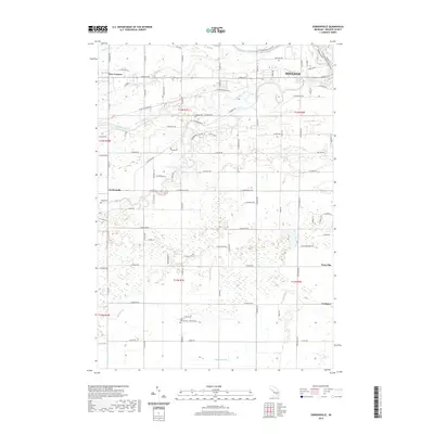
2019 Map of Gordonville
USGS Topo · Published 2019About this map
Midland sits at the confluence of several major waterways, where the Tittabawassee River meets the Chippewa River and the Pine River. This late-era survey documents the modern layout of the river valleys and the expansion of residential corridors like Isabella Rd and N Meridian Rd. The landscape reflects a mix of suburban growth and traditional agricultural divisions, with historical markers such as Dice Corners and Gordonville serving as focal points for local navigation. The presence of the Pere Marquette State Trail follows a legacy transport corridor through the northern sections of the map. Genealogists can identify established burial grounds throughout the townships, including Homer Cem and Wayne Cem near the rivers, as well as Saint Patrick Cem further south near Lockport. The intricate network of drainage features, such as Duncan Drain and Bullock Cr, illustrates the long-term management of this low-lying riverine terrain.
Find a feature on this map
95 named features on this map. Tap any name to fly to it.
Don’t see what you’re looking for? This feature index may not catch every label — zoom into the map to look around manually.
Map Details
Editions of this 2019 Gordonville Map
This is the sole edition of this map. No revisions or reprints were ever made.
Other maps of this area

1917 · St. Charles
USGS Topo · 1:62,500

1934 · Sanford
USGS Topo · 1:62,500

1934 · Merrill
USGS Topo · 1:62,500

1936 · Sanford
USGS Topo · 1:62,500

1937 · Merrill
USGS Topo · 1:62,500

1943 · St. Charles
USGS Topo · 1:62,500

1954 · Midland
USGS Topo · 1:250,000

1958 · Midland
USGS Topo · 1:250,000

1959 · Midland
USGS Topo · 1:250,000

1962 · Midland South
USGS Topo · 1:24,000