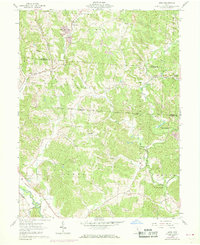
1961 Map of Gore
USGS Topo · Published 1968About this map
Wayne National Forest covers much of this landscape in southeastern Ohio, where the hills are marked by a history of resource extraction and rural community life. The Chesapeake and Ohio railroad threads through the valleys, connecting settlements like Gore, Greendale, and Maxville. The map captures a moment when the coal industry left visible marks on the land, indicated by several strip mines scattered near Sand Run Junction and north of Old Gore. Local heritage is anchored by dispersed country churches and family-linked burial sites, including Webb Chapel Cem, Rhodes and Huddle Cem, and Dawley Cem. Waterways such as Monday Creek and Salt Lick Creek dictate the local geography, while smaller landmarks like the Lookout Tower and Owens Landing Field provide points of orientation within the wooded terrain.
Find a feature on this map
42 named features on this map. Tap any name to fly to it.
Don’t see what you’re looking for? This feature index may not catch every label — zoom into the map to look around manually.
Map Details
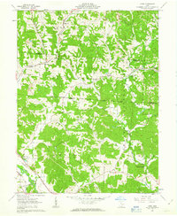
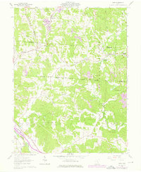
Editions of this 1961 Gore Map
Other maps of this area

1903 · Athens
USGS Topo · 1:62,500

1904 · Zaleski
USGS Topo · 1:62,500

1905 · Athens
USGS Topo · 1:62,500

1907 · Zaleski
USGS Topo · 1:62,500

1907 · Logan
USGS Topo · 1:62,500

1909 · Logan
USGS Topo · 1:62,500

1911 · New Lexington
USGS Topo · 1:62,500

1947 · Columbus
USGS Topo · 1:250,000

1961 · Columbus
USGS Topo · 1:250,000

1961 · Nelsonville
USGS Topo · 1:24,000