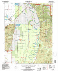
1994 Map of Gorham
USGS Topo · Published 1996About this map
The Big Muddy River winds through a series of dramatic oxbows including Horseshoe Bend, Mill Bend, and Cripps Bend as it makes its way toward the Mississippi. This 1994 revision of a mid-century survey illustrates the complex hydrology of the Grand Tower Bottoms, where a system of levees and ditches manages the lowlands near Johns Spur and Howardton. The Shawnee National Forest dominates the eastern and western horizons, containing the sharp relief of Fountain Bluff and the intricate drainage of the Little Grand Canyon. Genealogists will find several family-named burial sites along the base of the bluffs, including Henson and Hudson Cemetery. Transportation history is evident in the path of the Illinois Central Railroad, which connects the small settlements of Gorham and Sand Ridge to the river's edge at Grand Tower.
Find a feature on this map
52 named features on this map. Tap any name to fly to it.
Don’t see what you’re looking for? This feature index may not catch every label — zoom into the map to look around manually.
Map Details
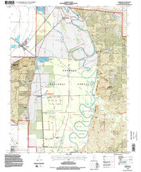
Editions of this 1994 Gorham Map
2 editions found
Other maps of this area

1910 · Murphysboro
USGS Topo · 1:62,500

1916 · Campbell Hill
USGS Topo · 1:62,500

1918 · Altenburg
USGS Topo · 1:62,500

1918 · Campbell Hill
USGS Topo · 1:62,500

1924 · Alto Pass
USGS Topo · 1:62,500

1925 · Altenburg
USGS Topo · 1:62,500

1938 · Murphysboro
USGS Topo · 1:62,500

1947 · Alto Pass
USGS Topo · 1:62,500

1947 · Gorham
USGS Topo · 1:24,000
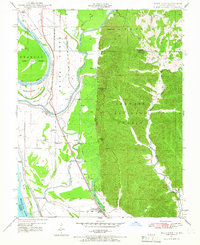
1947 · Wolf Lake
USGS Topo · 1:24,000