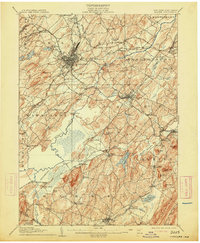
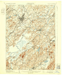
1908 Map of Goshen
USGS Topo · Published 1913About this map
Middletown serves as a dense industrial and rail hub in the northwestern quadrant of this survey, where the Erie RR and its Crawford Br intersect with the New York Ontario and Western RR. The landscape transitions from the urbanized streets of Goshen to the specialized agricultural drainage of the southern lowlands. A complex network of waterways, including the Wallkill River and Quaker Creek, defines the terrain, particularly around the Commissioners Ditch which facilitates the drainage of the fertile black dirt region near Pine Island.
Find a feature on this map
101 named features on this map. Tap any name to fly to it.
Don’t see what you’re looking for? This feature index may not catch every label — zoom into the map to look around manually.
Map Details
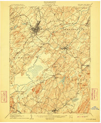
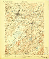
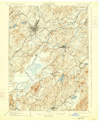
Editions of this 1908 Goshen Map
6 editions found

Other maps of this area

1888 · Franklin
USGS Topo · 1:62,500

1891 · Greenwood Lake
USGS Topo · 1:62,500

1891 · Ramapo
USGS Topo · 1:62,500

1893 · Greenwood Lake
USGS Topo · 1:62,500

1893 · Ramapo
USGS Topo · 1:62,500

1894 · Franklin
USGS Topo · 1:62,500

1897 · Franklin
USGS Topo · 1:62,500

1902 · Schunemunk
USGS Topo · 1:62,500

1903 · Newburg
USGS Topo · 1:62,500

1903 · Franklin Furnace
USGS Topo · 1:62,500