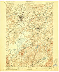
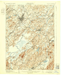
1908 Map of Goshen
USGS Topo · Published 1919About this map
The industrial and agricultural hub of Middletown serves as the focal point of this early twentieth-century survey, revealing a landscape defined by an intensive network of competing rail lines. The Erie RR and the New York Ontario and Western RR intersect here, facilitating the movement of goods from the surrounding dairy and muckland farming districts. To the southeast, the village of Goshen acts as a major junction, where the railroad corridors bypass the elevations of Mt Lookout and Fort Hill.
Find a feature on this map
106 named features on this map. Tap any name to fly to it.
Don’t see what you’re looking for? This feature index may not catch every label — zoom into the map to look around manually.
Map Details
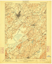
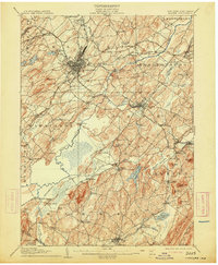
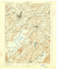
Editions of this 1908 Goshen Map
6 editions found

Other maps of this area

1888 · Franklin
USGS Topo · 1:62,500

1891 · Greenwood Lake
USGS Topo · 1:62,500

1891 · Ramapo
USGS Topo · 1:62,500

1893 · Greenwood Lake
USGS Topo · 1:62,500

1893 · Ramapo
USGS Topo · 1:62,500

1894 · Franklin
USGS Topo · 1:62,500

1897 · Franklin
USGS Topo · 1:62,500

1902 · Schunemunk
USGS Topo · 1:62,500

1903 · Newburg
USGS Topo · 1:62,500

1903 · Franklin Furnace
USGS Topo · 1:62,500