
1958 Map of Gracelock NE
USGS Topo · Published 1959About this map
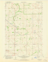
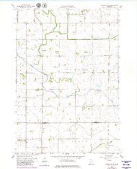
Shakopee Creek meanders through this mid-century prairie landscape, crossing the boundary line between Swift Co and Chippewa Co. The area is defined by a dense network of local education, with numerous numbered schoolhouses including School No 2193, School No 2197, and School No 2233 distributed across the townships of Torning, Cashel, and Swenoda. Near the southern border, St Johns Ch stands as a focal point for the rural community in Mandt township.
Find a feature on this map
16 named features on this map. Tap any name to fly to it.
Don’t see what you’re looking for? This feature index may not catch every label — zoom into the map to look around manually.
Map Details
Editions of this 1958 Gracelock NE Map
3 editions found
Other maps of this area

1953 · Saint Cloud
USGS Topo · 1:250,000

1957 · Saint Cloud
USGS Topo · 1:250,000

1958 · Saint Cloud
USGS Topo · 1:250,000

1958 · Murdock
USGS Topo · 1:24,000

1958 · Kerkhoven SW
USGS Topo · 1:24,000

1958 · Gracelock NW
USGS Topo · 1:24,000

1958 · Gracelock
USGS Topo · 1:24,000

1958 · Gracelock SW
USGS Topo · 1:24,000

1968 · De Graff
USGS Topo · 1:24,000

1968 · Benson
USGS Topo · 1:24,000