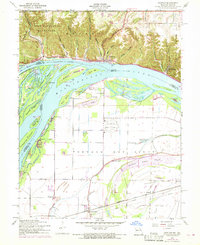
1954 Map of Grafton
USGS Topo · Published 1969About this map
Grafton and the high bluffs of Pere Marquette State Park dominate the northern landscape, where a series of hollows like Distillery Hollow and Jerseyville Hollow cut through the rugged Illinois terrain. The confluence of the Illinois River and Mississippi River creates a complex network of islands and chutes, including Mason Island and Calhoun Point. South of the rivers, the land flattens into the Portage Des Sioux floodplain in Missouri.
Find a feature on this map
54 named features on this map. Tap any name to fly to it.
Don’t see what you’re looking for? This feature index may not catch every label — zoom into the map to look around manually.
Map Details
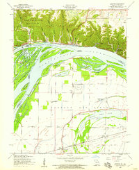
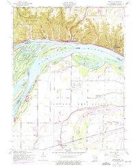
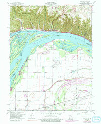
Editions of this 1954 Grafton Map
4 editions found
Other maps of this area

1903 · O'Fallon
USGS Topo · 1:125,000

1924 · Robertson
USGS Topo · 1:24,000

1927 · St. Charles
USGS Topo · 1:62,500

1930 · Hardin
USGS Topo · 1:62,500

1930 · Jerseyville
USGS Topo · 1:62,500

1931 · Brussels
USGS Topo · 1:62,500

1933 · Jerseyville
USGS Topo · 1:62,500

1933 · Saint Charles
USGS Topo · 1:62,500

1934 · Hardin
USGS Topo · 1:62,500

1935 · Florissant
USGS Topo · 1:24,000