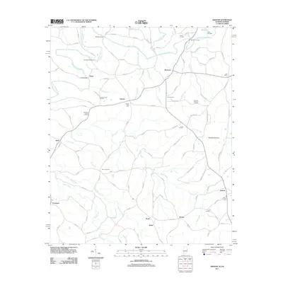
2011 Map of Graham
USGS Topo · Published 2011About this map
The Little Tallapoosa River meanders across this rural landscape where the Alabama and Georgia border meets, anchoring a network of small agricultural communities. This 2011 survey illustrates a region defined by its dispersed settlements like Graham, Ephesus, and Kaylor, each connected by a winding web of county roads. The importance of local heritage is evident in the numerous burial grounds and spiritual centers that dot the terrain, including the Old Shiloh Church Cemetery and Bethena Church Cemetery.
Find a feature on this map
111 named features on this map. Tap any name to fly to it.
Don’t see what you’re looking for? This feature index may not catch every label — zoom into the map to look around manually.
Map Details
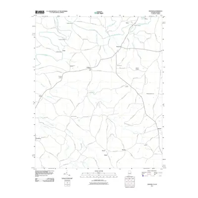
Editions of this 2011 Graham Map
2 editions found
Other maps of this area

1889 · Tallapoosa
USGS Topo · 1:125,000

1892 · Tallapoosa
USGS Topo · 1:125,000

1897 · Tallapoosa
USGS Topo · 1:125,000

1899 · Wedowee
USGS Topo · 1:125,000

1902 · Wedowee
USGS Topo · 1:125,000

1953 · Atlanta
USGS Topo · 1:250,000

1957 · Atlanta
USGS Topo · 1:250,000

1958 · Atlanta
USGS Topo · 1:250,000

1958 · Carrollton
USGS Topo · 1:62,500

1964 · Roopville
USGS Topo · 1:24,000