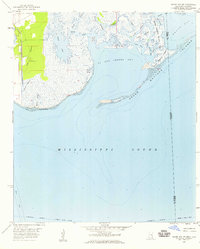
1958 Map of Grand Bay SW
USGS Topo · Published 1959About this map
Mississippi Sound dominates this late-1950s coastal survey, revealing a complex network of marshes, bayous, and barrier islands along the Jackson and Mobile County border. The western edge shows the inland development of the era, centered on the Jackson County Airport and the critical transportation corridor of the Louisville and Nashville railroad. The transition from the terrestrial The Prairie into the tidal wetlands is marked by intricate waterways like Bangs Bayou and the expansive Bangs Lake.
Find a feature on this map
33 named features on this map. Tap any name to fly to it.
Don’t see what you’re looking for? This feature index may not catch every label — zoom into the map to look around manually.
Map Details
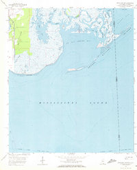
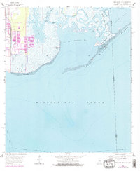
Editions of this 1958 Grand Bay SW Map
3 editions found
Other maps of this area

1921 · Grand Bay
USGS Topo · 1:62,500

1921 · Petit Bois Island
USGS Topo · 1:62,500

1941 · Horn Island
USGS Topo · 1:62,500

1942 · Petit Bois Island
USGS Topo · 1:62,500

1942 · Horn Island
USGS Topo · 1:62,500

1943 · Pascagoula
USGS Topo · 1:62,500

1943 · Grand Bay
USGS Topo · 1:62,500

1953 · Mobile
USGS Topo · 1:250,000

1955 · Pascagoula
USGS Topo · 1:62,500

1957 · Mobile
USGS Topo · 1:250,000