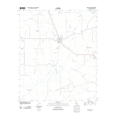
2012 Map of Grand Cane
USGS Topo · Published 2012About this map
The town of Grand Cane serves as the central hub of this North Louisiana landscape, where the local economy is defined by a mix of agriculture and energy extraction. Extensive petroleum operations are evident across the parish, including the North Grand Cane Oil and Gas Field, the Grand Cane Oil Field, and the Canadian Bayou Oil and Gas Field. The terrain is shaped by watercourses such as Bayou Grand Cane and Canadian Bayou, leading toward the lowlands of Southerland Bottom in the southwest. For family historians, several burial sites are clearly marked, including Zion Hill Cem, Friendship Cem, and Cook Cem. Transportation in the area relies on a network of parish roads, including the uniquely named Screamville Rd, while local aviation is supported by the 'Rusty' Williams Airport to the east.
Find a feature on this map
72 named features on this map. Tap any name to fly to it.
Don’t see what you’re looking for? This feature index may not catch every label — zoom into the map to look around manually.
Map Details
Editions of this 2012 Grand Cane Map
This is the sole edition of this map. No revisions or reprints were ever made.
Other maps of this area

1941 · Pelican
USGS Topo · 1:62,500

1943 · Pleasant Hill
USGS Topo · 1:62,500

1944 · Logansport
USGS Topo · 1:62,500

1944 · Pleasant Hill
USGS Topo · 1:62,500

1945 · Grand Cane
USGS Topo · 1:62,500

1945 · Mansfield
USGS Topo · 1:62,500

1947 · Mansfield
USGS Topo · 1:62,500

1953 · Alexandria
USGS Topo · 1:250,000

1955 · Shreveport
USGS Topo · 1:250,000

1955 · Alexandria
USGS Topo · 1:250,000