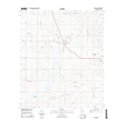
2015 Map of Grand Cane
USGS Topo · Published 2015About this map
Grand Cane serves as the central hub of this DeSoto Parish landscape, where a grid of rural roads and parish routes connects scattered homesteads and family landmarks. The drainage of Bayou Grand Cane and its various tributaries like Canadian Bayou and Wallace Cr dictate the layout of the land, carving through the low-lying Southerland Bottom. This 2015 snapshot illustrates a community deeply rooted in its local geography, with historical continuity preserved in sites like Zion Hill Cem, Friendship Cem, and Cook Cem.
Find a feature on this map
76 named features on this map. Tap any name to fly to it.
Don’t see what you’re looking for? This feature index may not catch every label — zoom into the map to look around manually.
Map Details
Editions of this 2015 Grand Cane Map
This is the sole edition of this map. No revisions or reprints were ever made.
Other maps of this area

1941 · Pelican
USGS Topo · 1:62,500

1943 · Pleasant Hill
USGS Topo · 1:62,500

1944 · Logansport
USGS Topo · 1:62,500

1944 · Pleasant Hill
USGS Topo · 1:62,500

1945 · Grand Cane
USGS Topo · 1:62,500

1945 · Mansfield
USGS Topo · 1:62,500

1947 · Mansfield
USGS Topo · 1:62,500

1953 · Alexandria
USGS Topo · 1:250,000

1955 · Shreveport
USGS Topo · 1:250,000

1955 · Alexandria
USGS Topo · 1:250,000