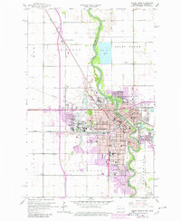
1963 Map of Grand Forks
USGS Topo · Published 1980About this map
The Red River flows north through the heart of this border region, defining the boundary between Grand Forks, North Dakota, and East Grand Forks, Minnesota. This 1963 survey, updated with late-1970s revisions, highlights the educational and institutional core of the area, anchored by the expansive University of North Dakota campus and the School for Blind. The urban landscape is densely packed with neighborhood schools like Winship Sch and Lincoln Sch, along with several parochial institutions including Sacred Heart Sch and St Michael Sch.
Find a feature on this map
63 named features on this map. Tap any name to fly to it.
Don’t see what you’re looking for? This feature index may not catch every label — zoom into the map to look around manually.
Map Details
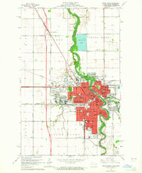
Editions of this 1963 Grand Forks Map
2 editions found
Other maps of this area

1918 · Warren
USGS Topo · 1:62,500

1934 · Grand Forks
USGS Topo · 1:24,000

1934 · Grand Forks
USGS Topo · 1:62,500

1938 · Grand Forks
USGS Topo · 1:62,500

1952 · Grand Forks
USGS Topo · 1:250,000

1952 · Thief River Falls
USGS Topo · 1:250,000

1955 · Warren
USGS Topo · 1:62,500

1956 · Thief River Falls
USGS Topo · 1:250,000

1956 · Grand Forks
USGS Topo · 1:250,000

1957 · Thief River Falls
USGS Topo · 1:250,000