
1955 Map of Grand Island
USGS Topo · Published 1967About this map
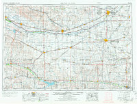
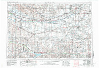
The Platte River valley dominates this mid-century landscape, serving as a primary corridor for both the Union Pacific RR and major highways like US 30. This transportation spine connects regional hubs such as Grand Island, Kearney, and Lexington, while the river itself splits into complex channels including the South Channel Platte River. To the south, the Republican River basin is anchored by the Harlan County Reservoir, highlighting the post-war expansion of water management and irrigation systems in the Republican Valley.
Find a feature on this map
147 named features on this map. Tap any name to fly to it.
Don’t see what you’re looking for? This feature index may not catch every label — zoom into the map to look around manually.
Map Details
Editions of this 1955 Grand Island Map
3 editions found
Other maps of this area

1892 · Concordia
USGS Topo · 1:125,000

1892 · Grand Island
USGS Topo · 1:62,500

1893 · Smith Center
USGS Topo · 1:125,000

1893 · Norton
USGS Topo · 1:125,000

1893 · Phillipsburg
USGS Topo · 1:125,000

1894 · Mankato
USGS Topo · 1:125,000

1894 · Kenesaw
USGS Topo · 1:62,500

1894 · Kearney
USGS Topo · 1:62,500

1894 · Minden
USGS Topo · 1:62,500

1895 · Grand Island
USGS Topo · 1:62,500