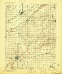
1898 Map of Grand Island
USGS Topo · Published 1930About this map
Platte River braided channels dominate the central landscape of this late nineteenth-century Nebraska survey, flanked by a dense network of competing rail lines. This era was defined by the rapid growth of Grand Island and Hastings, which serve as major transit hubs for the Union Pacific (Main Line) and the Burlington and Missouri River Railroad. The map captures the agricultural transition from open prairie to organized townships, such as Vieregg and Deep Well, where new settlements like Doniphan and Harvard were becoming established points of trade. Significant local landmarks, including the Insane Asylum west of Hastings and infrastructure like the Hamilton Bridge, illustrate the developing civic and social fabric of Hall, Adams, and Hamilton counties during this period of high western expansion.
Find a feature on this map
70 named features on this map. Tap any name to fly to it.
Don’t see what you’re looking for? This feature index may not catch every label — zoom into the map to look around manually.
Map Details
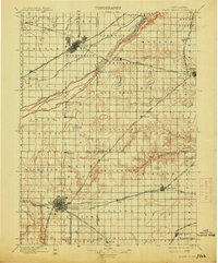
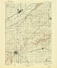
Editions of this 1898 Grand Island Map
4 editions found

Other maps of this area

1892 · Grand Island
USGS Topo · 1:62,500

1894 · Kenesaw
USGS Topo · 1:62,500

1895 · Grand Island
USGS Topo · 1:62,500

1895 · Wood River
USGS Topo · 1:62,500

1896 · Wood River
USGS Topo · 1:125,000

1896 · Stromsburg
USGS Topo · 1:125,000

1897 · Red Cloud
USGS Topo · 1:125,000

1898 · York
USGS Topo · 1:125,000

1898 · Superior
USGS Topo · 1:125,000

1898 · Hebron
USGS Topo · 1:125,000