
1898 Map of Grand Island
USGS Topo · Published 1898About this map
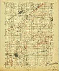
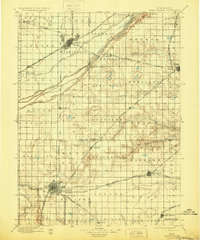
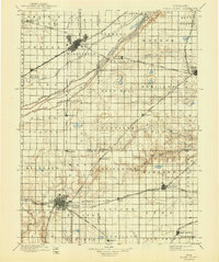
The braided channels of the Platte River dominate this Central Nebraska landscape during the late nineteenth century, flanked by the growing hubs of Grand Island and Hastings. The map reveals a complex rail network at the height of the steam era, including the Union Pacific R. R. and the Burlington and Missouri River R. R., which facilitated the rapid agricultural development of the surrounding prairie. To the west of Hastings, the presence of the Insane Asylum marks a significant early state institution in the region. North of the river, Abbott Prairie and Silver Creek define the flatter terrain where early ranching and farming operations were established. The intricate surveying of the North Channel Platte River, Middle Channel Platte River, and South Channel Platte River illustrates the importance of river crossings like Hamilton Bridge and Grand Island Bridge for local commerce and travel.
Find a feature on this map
71 named features on this map. Tap any name to fly to it.
Don’t see what you’re looking for? This feature index may not catch every label — zoom into the map to look around manually.
Map Details
Editions of this 1898 Grand Island Map
4 editions found
Other maps of this area

1892 · Grand Island
USGS Topo · 1:62,500

1894 · Kenesaw
USGS Topo · 1:62,500

1895 · Grand Island
USGS Topo · 1:62,500

1895 · Wood River
USGS Topo · 1:62,500

1896 · Wood River
USGS Topo · 1:125,000

1896 · Stromsburg
USGS Topo · 1:125,000

1897 · Red Cloud
USGS Topo · 1:125,000

1898 · York
USGS Topo · 1:125,000

1898 · Superior
USGS Topo · 1:125,000

1898 · Hebron
USGS Topo · 1:125,000