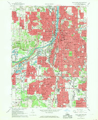
1967 Map of Grand Rapids West
USGS Topo · Published 1969About this map
The Grand River carves through the heart of the Grand Rapids region during a period of intense mid-century expansion. This survey illustrates the dense urbanization across Grand Rapids, Walker, and Wyoming, where industrial hubs like the Kent Industrial Center developed alongside established neighborhoods. The map is a dense record of civic and religious infrastructure, noting dozens of parochial schools like St James Sch and St Marys Sch, and large cemetery complexes including Oak Hill Cemetery and Woodlawn Cemetery.
Find a feature on this map
172 named features on this map. Tap any name to fly to it.
Don’t see what you’re looking for? This feature index may not catch every label — zoom into the map to look around manually.
Map Details
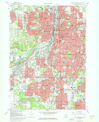
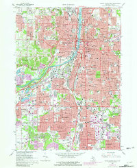
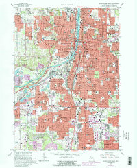
Editions of this 1967 Grand Rapids West Map
4 editions found
Other maps of this area

1914 · Grand Rapids
USGS Topo · 1:62,500

1918 · Cedar Springs
USGS Topo · 1:62,500

1943 · Cedar Springs
USGS Topo · 1:62,500

1943 · Grand Rapids
USGS Topo · 1:62,500

1945 · Ravenna
USGS Topo · 1:62,500

1954 · Midland
USGS Topo · 1:250,000

1958 · Midland
USGS Topo · 1:250,000

1958 · Grandville
USGS Topo · 1:62,500

1958 · Grandville
USGS Topo · 1:24,000

1958 · Grand Rapids
USGS Topo · 1:250,000