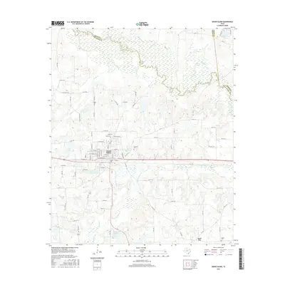
2016 Map of Grand Saline
USGS Topo · Published 2016About this map
Grand Saline stands as the central hub of this East Texas survey, characterized by its deep connection to the local geography and salt industry. The presence of the Morton Salt Company Lake south of the city center highlights the industrial importance of the area, where brine extraction has long shaped the local economy. The landscape is a network of water bodies and drainages, with Grand Saline Cr and Little Saline Cr winding through the terrain toward the Sabine River, which forms the northern boundary alongside Rains Co.
Find a feature on this map
92 named features on this map. Tap any name to fly to it.
Don’t see what you’re looking for? This feature index may not catch every label — zoom into the map to look around manually.
Map Details
Editions of this 2016 Grand Saline Map
This is the sole edition of this map. No revisions or reprints were ever made.
Other maps of this area

1956 · Tyler
USGS Topo · 1:250,000

1956 · Emory
USGS Topo · 1:62,500

1958 · Alba
USGS Topo · 1:24,000

1959 · Calvary
USGS Topo · 1:24,000

1959 · Golden
USGS Topo · 1:24,000

1959 · Grand Saline
USGS Topo · 1:24,000

1959 · Van
USGS Topo · 1:24,000

1959 · Van Lake
USGS Topo · 1:24,000

1959 · Grand Saline
USGS Topo · 1:62,500

1959 · Alba
USGS Topo · 1:62,500