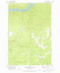
1969 Map of Grangemont
USGS Topo · Published 1978About this map
Grangemont serves as the primary upland settlement on this map, situated amidst a landscape of timbered ridges and deep drainages. The northern reaches of the area are defined by the rising waters of the Dworshak Reservoir, which follows the winding course of the North Fork Clearwater River. This survey captures the region as it transitioned with the creation of the reservoir, showing the new shoreline at the 1600-foot elevation mark against the older terrain of Angel Butte and Huckleberry Butte. For genealogists and local historians, the Marsh Cem near Marsh Creek provides a tangible link to the early families who settled the Grangemont area. A network of Jeep Trails and primitive roads crisscrosses the hills, connecting water sources like Whiskey Creek and Crooked Creek to the higher elevations, illustrating the remote and rugged nature of land use in this part of Clearwater County.
Find a feature on this map
20 named features on this map. Tap any name to fly to it.
Don’t see what you’re looking for? This feature index may not catch every label — zoom into the map to look around manually.
Map Details
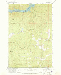
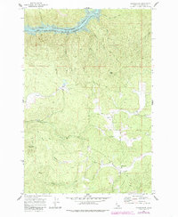
Editions of this 1969 Grangemont Map
3 editions found
Other maps of this area

1923 · Washington Creek
USGS Topo · 1:125,000

1924 · Kamiah
USGS Topo · 1:125,000

1924 · Weippe
USGS Topo · 1:125,000

1938 · Headquarters
USGS Topo · 1:48,000

1944 · Headquarters
USGS Topo · 1:62,500

1955 · Pullman
USGS Topo · 1:250,000

1956 · Hamilton
USGS Topo · 1:250,000

1958 · Pullman
USGS Topo · 1:250,000

1959 · Hamilton
USGS Topo · 1:250,000

1960 · Hamilton
USGS Topo · 1:250,000