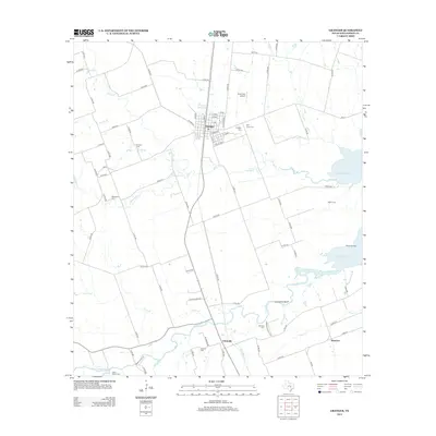
2013 Map of Granger
USGS Topo · Published 2013About this map
Granger serves as the hub of this Williamson County landscape, where the grid of the town sits at the intersection of a network of rural routes. To the south, the San Gabriel River winds through the territory, passing beneath the heights of Comanche Bluff before reaching Waterloo. The eastern portion of the map is dominated by the waters of Granger Lake, which submerged portions of the river valley and influenced local transit, such as the Hoxie Bridge. This 2013 survey is particularly valuable for genealogists, as it documents a high concentration of burial sites across the countryside, ranging from the central Granger Cem and Holy Cross Cem to family and community grounds like McFadin Cem, Macedonia Cem, and Sloan-Easley Cem. These landmarks, along with settlements like Circleville, preserve the historical footprint of rural Central Texas.
Find a feature on this map
81 named features on this map. Tap any name to fly to it.
Don’t see what you’re looking for? This feature index may not catch every label — zoom into the map to look around manually.
Map Details
Editions of this 2013 Granger Map
This is the sole edition of this map. No revisions or reprints were ever made.
Other maps of this area
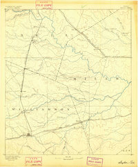
1885 · Taylor
USGS Topo · 1:125,000
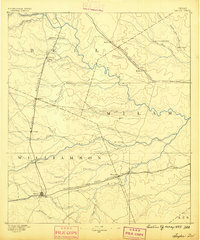
1887 · Taylor
USGS Topo · 1:125,000
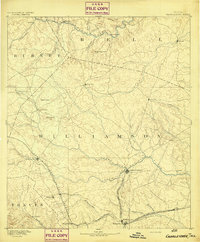
1893 · Georgetown
USGS Topo · 1:125,000
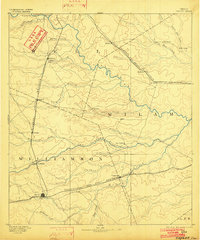
1894 · Taylor
USGS Topo · 1:125,000
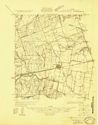
1925 · Georgetown 4-d
USGS Topo · 1:48,000
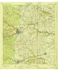
1928 · Round Rock
USGS Topo · 1:62,500
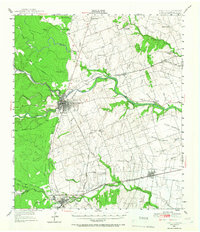
1949 · Round Rock
USGS Topo · 1:62,500
1951 · Round Rock
USGS Topo · 1:62,500

1954 · Austin
USGS Topo · 1:250,000
1963 · Friendship
USGS Topo · 1:24,000