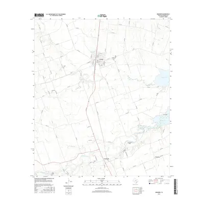
2016 Map of Granger
USGS Topo · Published 2016About this map
Granger serves as the hub of this Williamson County landscape, where the local street grid intersects a network of rural routes and the Railroad Reservoir. The surrounding countryside is defined by the winding course of the San Gabriel River and its tributaries, including Pecan Br and Willis Creek. This 2016 survey documents a dense distribution of family and community burial grounds, such as Calvary Cem, Macedonia Cem, and the Holy Cross Granger Cem, which provide essential touchpoints for genealogical research in the region. To the east, the waters of Granger Lake dominate the terrain, spanned by the Hoxie Bridge near the mouth of the river. Small settlements like Circleville and Waterloo sit along the secondary highways, marking established crossroads that have endured as the agricultural land transitioned around the reservoir. Notable landmarks like Comanche Bluff rise above the river valley, offering a glimpse into the natural topography of Central Texas.
Find a feature on this map
79 named features on this map. Tap any name to fly to it.
Don’t see what you’re looking for? This feature index may not catch every label — zoom into the map to look around manually.
Map Details
Editions of this 2016 Granger Map
This is the sole edition of this map. No revisions or reprints were ever made.
Other maps of this area
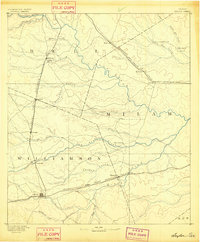
1885 · Taylor
USGS Topo · 1:125,000
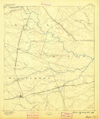
1887 · Taylor
USGS Topo · 1:125,000
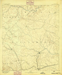
1893 · Georgetown
USGS Topo · 1:125,000
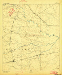
1894 · Taylor
USGS Topo · 1:125,000
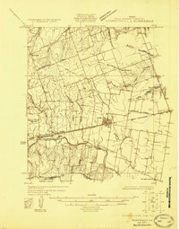
1925 · Georgetown 4-d
USGS Topo · 1:48,000
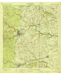
1928 · Round Rock
USGS Topo · 1:62,500
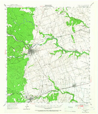
1949 · Round Rock
USGS Topo · 1:62,500
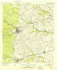
1951 · Round Rock
USGS Topo · 1:62,500

1954 · Austin
USGS Topo · 1:250,000
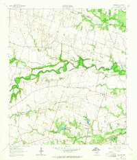
1963 · Friendship
USGS Topo · 1:24,000