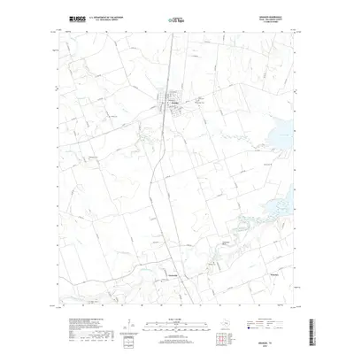
2019 Map of Granger
USGS Topo · Published 2019About this map
Granger serves as the focal point of this 2019 survey, situated at the junction of several rail lines and surrounded by a dense network of county roads. The landscape is defined by the eastward flow of Willis Creek and the San Gabriel River, both of which feed into the extensive waters of Granger Lake along the eastern margin. An abundance of small family and community burial grounds, such as McFadin Cem, Macedonia Cem, and the Sloan - Easley Cem, indicates a deeply rooted local history across this portion of Williamson County. The topography reveals significant local landmarks like Comanche Bluff overlooking the river valley, while the presence of the Railroad Reservoir near the town center reflects the enduring importance of transportation infrastructure to the local economy. Smaller settlements like Circleville and Waterloo dot the southern reaches of the map, connected by a lattice of rural routes and farm-to-market roads.
Find a feature on this map
82 named features on this map. Tap any name to fly to it.
Don’t see what you’re looking for? This feature index may not catch every label — zoom into the map to look around manually.
Map Details
Editions of this 2019 Granger Map
This is the sole edition of this map. No revisions or reprints were ever made.
Other maps of this area
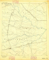
1885 · Taylor
USGS Topo · 1:125,000
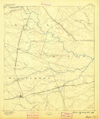
1887 · Taylor
USGS Topo · 1:125,000
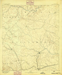
1893 · Georgetown
USGS Topo · 1:125,000
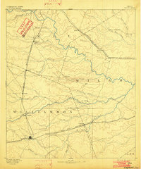
1894 · Taylor
USGS Topo · 1:125,000
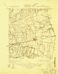
1925 · Georgetown 4-d
USGS Topo · 1:48,000
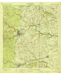
1928 · Round Rock
USGS Topo · 1:62,500
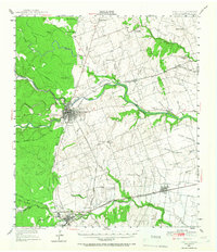
1949 · Round Rock
USGS Topo · 1:62,500
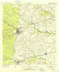
1951 · Round Rock
USGS Topo · 1:62,500

1954 · Austin
USGS Topo · 1:250,000
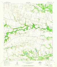
1963 · Friendship
USGS Topo · 1:24,000