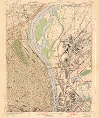
1940 Map of Granite City
USGS Topo · Published 1940About this map
The Mississippi River dominates this industrial and urban corridor, bifurcating the landscape between the bustling street grids of St Louis City and the manufacturing centers of Granite City and Madison. Large mid-river landmasses like Mosenthein Island and Gabaret Island split the current, creating the secondary Chouteau Slough. On the Missouri side, the geography is defined by a dense concentration of civic institutions, including Beaumont High School, Stowe Teachers College, and several major cemeteries such as Calvary Cemetery. To the east in Illinois, the map reveals a heavy reliance on rail-and-water logistics, featuring the Municipal Dock and the sprawling National Stock Yards. The presence of the Settling Reservoirs and the Waterworks near Bissell underscores the critical infrastructure necessary to support this growing metropolitan hub at the start of the 1940s.
Find a feature on this map
90 named features on this map. Tap any name to fly to it.
Don’t see what you’re looking for? This feature index may not catch every label — zoom into the map to look around manually.
Map Details
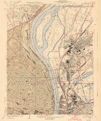
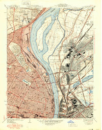
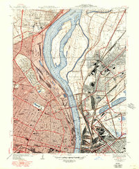
Editions of this 1940 Granite City Map
4 editions found
Other maps of this area

1888 · St. Louis
USGS Topo · 1:62,500

1927 · Alton
USGS Topo · 1:62,500

1927 · St. Charles
USGS Topo · 1:62,500

1931 · French Village
USGS Topo · 1:24,000

1933 · Granite City
USGS Topo · 1:24,000

1933 · Jefferson Barracks
USGS Topo · 1:24,000

1933 · Cahokia
USGS Topo · 1:24,000

1933 · Clayton
USGS Topo · 1:24,000

1933 · Saint Charles
USGS Topo · 1:62,500

1934 · Cahokia
USGS Topo · 1:24,000