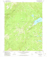
1982 Map of Graniteville
USGS Topo · Published 1982About this map
Graniteville and the surrounding high country of the Tahoe National Forest reveal a landscape defined by 19th-century gold mining and hydraulic engineering. While the primary settlement remains centered near the Cem, much of the area's activity is found at industrial sites like Old Condon Mill and Marsh Mill. The map documents a dense network of extraction, with family-named or descriptive claims such as the Hotwater Mine, Birchville Mine, and Nixon Mine dotting the terrain from Rocky Glen to the slopes above Poorman Creek.
Find a feature on this map
69 named features on this map. Tap any name to fly to it.
Don’t see what you’re looking for? This feature index may not catch every label — zoom into the map to look around manually.
Map Details
Editions of this 1982 Graniteville Map
4 editions found
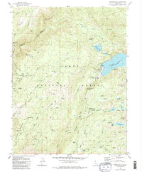
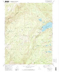
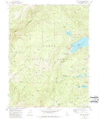
Other maps of this area

1891 · Downieville
USGS Topo · 1:125,000

1891 · Colfax
USGS Topo · 1:125,000

1892 · Colfax
USGS Topo · 1:125,000

1893 · Downieville
USGS Topo · 1:125,000

1894 · Colfax
USGS Topo · 1:125,000

1895 · Downieville
USGS Topo · 1:125,000

1896 · Downieville
USGS Topo · 1:125,000

1897 · Downieville
USGS Topo · 1:125,000

1898 · Colfax
USGS Topo · 1:125,000

1900 · Colfax
USGS Topo · 1:125,000