
1956 Map of Grant Orchards
USGS Topo · Published 1957About this map
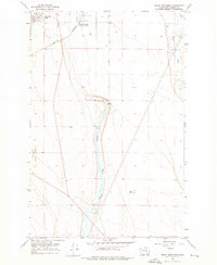
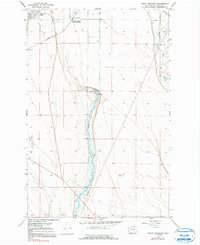
Grant Orchards (Soap Lake Sta) and the residential cluster of Lakeview Park anchor this mid-century look at Grant County's irrigated landscape. The corridor is defined by the Great Northern railroad, which cuts diagonally across the terrain, serving the agricultural and transit needs of the Columbia Basin. Hydrology dominates the central portion of the map, where Rocky Ford Creek flows southward toward a Substation and a Fish Hatchery located near a series of Springs. This area represents a critical intersection of natural water resources and early industrial development. On the western edge, the Ephrata Municipal Airport and nearby Gravel Pits indicate the growing infrastructure of the era, while Crab Creek meanders through the northeastern corner, framed by the local Bluff.
Find a feature on this map
17 named features on this map. Tap any name to fly to it.
Don’t see what you’re looking for? This feature index may not catch every label — zoom into the map to look around manually.
Map Details
Editions of this 1956 Grant Orchards Map
3 editions found
Other maps of this area

1910 · Winchester
USGS Topo · 1:62,500

1912 · Moses Lake
USGS Topo · 1:62,500

1953 · Ritzville
USGS Topo · 1:250,000

1956 · Ephrata
USGS Topo · 1:62,500

1956 · Stratford
USGS Topo · 1:24,000

1956 · Ephrata
USGS Topo · 1:24,000

1956 · Moses Lake North
USGS Topo · 1:24,000

1956 · Gloyd
USGS Topo · 1:24,000

1956 · Winchester NE
USGS Topo · 1:24,000
1956 · Moses Lake NW
USGS Topo · 1:24,000