
1946 Map of Grantsville
USGS Topo · Published 1966About this map
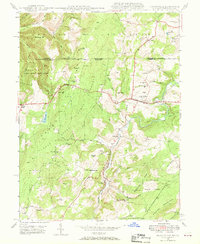
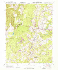
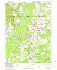
Casselman River winds through the heart of this mountain landscape, serving as the primary drainage for the surrounding ridges just after World War II. The town of Grantsville sits at the intersection of local commerce and travel, dominated by the path of the historic National Pike. The map illustrates a rural society organized around small community hubs such as Jennings, Bevansville, and Casselman, each tied to the landscape by the timber and agricultural resources of the Savage River State Forest. Local genealogy is well-represented through family-named landmarks like Christner Hill, Strawberry Hill, and the Ridgley Cemetery. Educational and spiritual life is anchored by institutions such as Yoder School, Maynardier Ridge School, and Maple Grove Church. The presence of an underground pipe line cutting across the state line from Pennsylvania into Maryland marks the early post-war industrial infrastructure development in this high-elevation region.
Find a feature on this map
58 named features on this map. Tap any name to fly to it.
Don’t see what you’re looking for? This feature index may not catch every label — zoom into the map to look around manually.
Map Details
Editions of this 1946 Grantsville Map
4 editions found
Other maps of this area

1899 · Grantsville
USGS Topo · 1:62,500

1900 · Accident
USGS Topo · 1:62,500

1904 · Grantsville
USGS Topo · 1:62,500

1921 · Meyersdale
USGS Topo · 1:62,500

1922 · Confluence
USGS Topo · 1:62,500

1931 · Confluence
USGS Topo · 1:62,500

1933 · Confluence
USGS Topo · 1:62,500

1939 · Meyersdale
USGS Topo · 1:62,500

1944 · Meyersdale
USGS Topo · 1:62,500
1947 · Barton
USGS Topo · 1:24,000