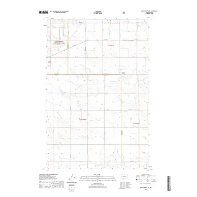
2020 Map of Grassy Butte SE
USGS Topo · Published 2020About this map
The Little Missouri National Grassland dominates the northwestern corner of this territory, where the borders of McKenzie, Dunn, and Billings counties converge. The landscape is defined by the winding paths of the Little Knife River and the Knife River, which provide the primary drainage for this stretch of North Dakota prairie. This map preserves the location of cultural landmarks significant to early settlement history, most notably the Russian Cem and the American Baptist Mission Cem situated near the county lines. A grid of section roads like Co Line Rd and 3rd St SW overlays the terrain, illustrating the enduring township and range system that organized the region's agricultural and ranching development throughout the twentieth century.
Find a feature on this map
39 named features on this map. Tap any name to fly to it.
Don’t see what you’re looking for? This feature index may not catch every label — zoom into the map to look around manually.
Map Details
Editions of this 2020 Grassy Butte SE Map
This is the sole edition of this map. No revisions or reprints were ever made.
Other maps of this area

1953 · Watford City
USGS Topo · 1:250,000

1957 · Watford City
USGS Topo · 1:250,000

1963 · Fairfield
USGS Topo · 1:24,000

1963 · Hungry Man Butte
USGS Topo · 1:24,000

1967 · Watford City
USGS Topo · 1:250,000

1973 · Manning NW
USGS Topo · 1:24,000

1974 · Killdeer
USGS Topo · 1:100,000

1974 · Grassy Butte SW
USGS Topo · 1:24,000

1974 · Petes Creek
USGS Topo · 1:24,000

1974 · Fayette
USGS Topo · 1:24,000